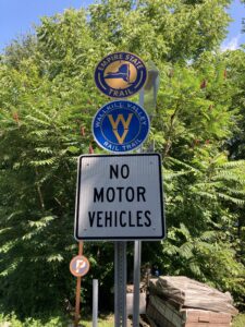
 There’s a stretch on the Wallkill Valley Rail Trail just south of the Binnewater Kilns parking lot in Rosendale that gives access to the crevices that lead to the ice caves deep inside Joppenbergh Mountain.
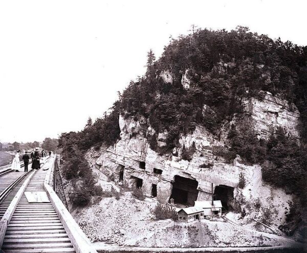 Joppenbergh was mined in the late 19th century for use in the manufacture of natural cement.
There was a huge cave-in in 1899 that crushed equipment and collapsed the mine shafts. That collapse destroyed the entrances and shafts shown in this old photo .
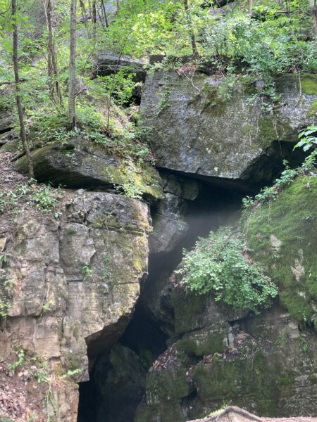
Right by the 15.5 mile trail marker- and a few yards from the parking lot – there are the crevice entrances to the mines below. In winter, the water collected there freezes and in the warmer weather, it gives off welcome blasts of cool air that sometimes mist and swirl around you. With the heat this summer I was wondering whether the chill would last. But yesterday the air conditioning was in full and welcome effect.
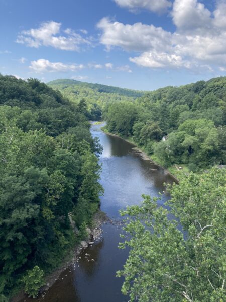 The railway trestle was unaffected by the mine collapse. It had been constructed by the Wallkill Valley Railroad to extend the rail link from New Paltz to Kingston. It’s 150 ft above Rondout Creek. Building started in 1870 and when it officially opened in 1872, the Rosendale trestle was the highest span bridge in the United States.
The Giant’s Ledges
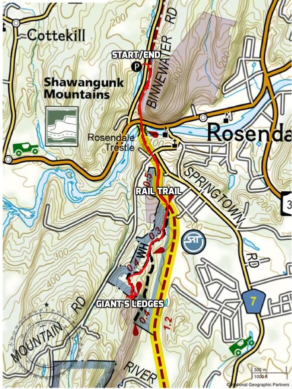
Our destination was the viewpoint from the Giant’s Ledges reached by a path that leads off from the rail trail and affords views out to the east. That meant crossing the trestle bridge and heading south toward New Paltz.
Not far along, the trail to the Ledges takes off to the right and winds through the woods. Even after all the rain last week there was only one squelchy bit and that was navigated with the help of a handy fallen branch.
In an area recovering from the deadly deluge of Hurricane Ida this was a lucky break.
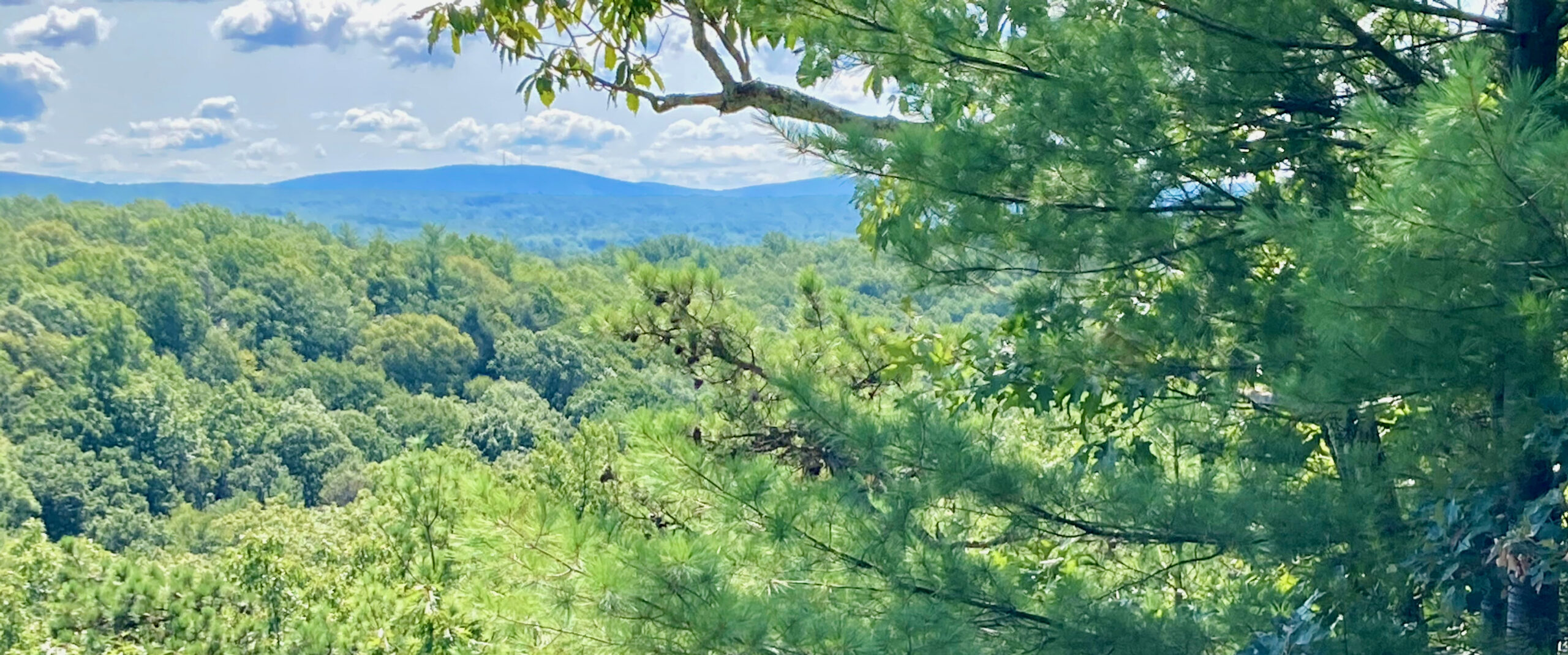
Here’s the view from the top, east toward the Hudson River hidden by the ridge.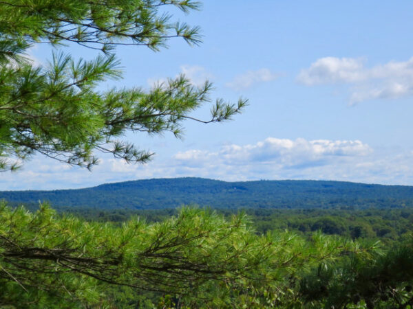
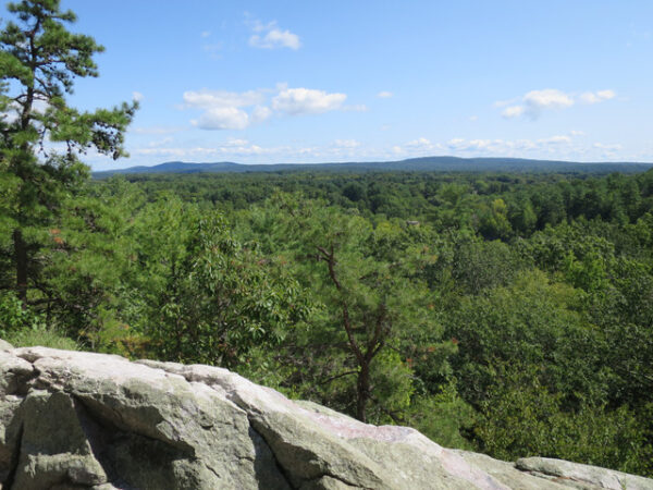
The trail heading down passed by more amazing rock slabs.
And for those who like maps:


Such a beautiful area!
Becky Ross Michael´s last blog post ..Fight Climate Change with Your Fork: Meatless Monday
My favorite bit was the part about the “natural air conditioning.” Nature is goddamn wonderful!!
Catxman´s last blog post ..Updating my website
One of these days I’ll remember to take a thermometer and measure the cooling effect.
That is some walk Josie. I like walking in the Goldfields landscape where I live; mine shafts, occasional sprinkles of gold. But not green like this.
With all the excessive amounts of rain we have had, everything is particularly and unusually lush and green.
I am trying to get my brain to reconcile the perspective in the black and white photo between the human figures and the building sizes. I am failing!
Hi Peter – I saw that too. The perspective is all askew. They are standing on the trestle which is more than a 100feet above the mine entrances. The relative size of people It’s as if the photo sheers off the drop. Very odd. The relative sizes of people and sheds show that. The actual photo puts them on the same plane and does not.
I’m glad it’s not my head that’s out of kilter!
Out of kilter? Quite the reverse
Straight shooter (if sometimes perverse)
By that – nothing untoward
You often see what’s quite absurd.
I take that as a compliment. You seem to have sussed my raison d’être very swiftly!
Looks like you had a clear day for your walk, Josie, and even a bit of aircon! Thanks for sharing your gallery and the historical info, always fascinating to have those contexts.
Would be a good setting for a children’s adventure mystery story with some old ghosts and local history thrown in.
Very much enjoyed this post The photos are exquisite, and the names of the places on the map are interesting in themselves.
Thanks mm. I especially like Binnewater Kilns as the name for the parking lot. And in fact, it has a whole long cliff of old brickwork kiln openings along the back end. Old industrial landscapes are so interesting especially when nature has done a good reclamation job.
Thanks, Josie, for allowing us to walk with you! 🙋♂️
Ashley´s last blog post ..Early September
Experience history through walking in the landscape, one of my favorite pastimes too. Glorious photos.
Thanks. There is something particularly wonderful about walking through a landscape that has been affected by human industry in the past but that now but nature has reclaimed. Places marked by industrial structures long abandoned and now overgrown. Old chimneys, furnaces, kilns, mine-shafts – all covered now with green.